Showing posts with label covered bridge. Show all posts

Tuesday, September 5, 2023

Labor Day Weekend: On the GeoTrail in Coshocton


It's become almost a tradition. Labor Day and geocaching with TaGeez & ShelleyJean. This time we headed down to Coshocton, Ohio for the Coshocton Ring GeoTrail. 

The Coshocton Ring Trail offers fun, free, family-friendly activity you can do any time of the year! There are 45 NEW caches placed for you to find. In order to earn the coin, you must log a total of 16, including the Cache to Rule All Caches, complete the passport, and get a cool Coshocton Ring Trail Coin.


Seen on the way! Such a good sign!

We were limited on time so we headed out Friday afternoon to grab some Ohio counties on our way. Did you know Switzerland is in Ohio? At least Little Switzerland is! Sugarcreek is home to the Guinness Book of World Records "largest cuckoo clock in the US". 


Tick Tock Virtual GC9P769

We were lucky enough to be present during the mid-hour entertainment, occupying ourselves beforehand with a nice little Adventure Lab across the street.


Lovely adventure into the town of Coshocton, where we spent a night at the Coshocton Village Inn. Jacqueline at the front desk gave SJ a heads-up that the onsite cache was kept behind the desk. And, with that, we grabbed CCR #45: Council of Elrond GC9RXM0


Since we only had the day, we got an early start. The fog was out and there was a bit of a chill in the air. It lent an air of mystery for a beautiful day ahead!


First stop was the Old Fort
"Located just south of the present-day south bank of the Tuscarawas River, near West Lafayette in Coshocton County, stands Ohio's oldest building. It is a small (16' X 16') sandstone structure, with rifle ports, known as the 'Old Stone Fort'. That the 'Old Stone Fort' is Ohio's oldest existing building, and one of the oldest European-built or early US buildings west of the Appalachian Mountains, is not in question. The question and the mystery is, who built the 'fort'?"


Dew covered

Now to start the geotrail. Caches are laid out into 3 rings: Narya, Vilya, and Nenya. You need to complete a total of 16: minimally 3 from each ring plus the CCR #01: The Cache to Rule All Caches. 


To simplify, I ran a pocket query for the series and then color-coded each ring. Voila! We had a plan of attack!


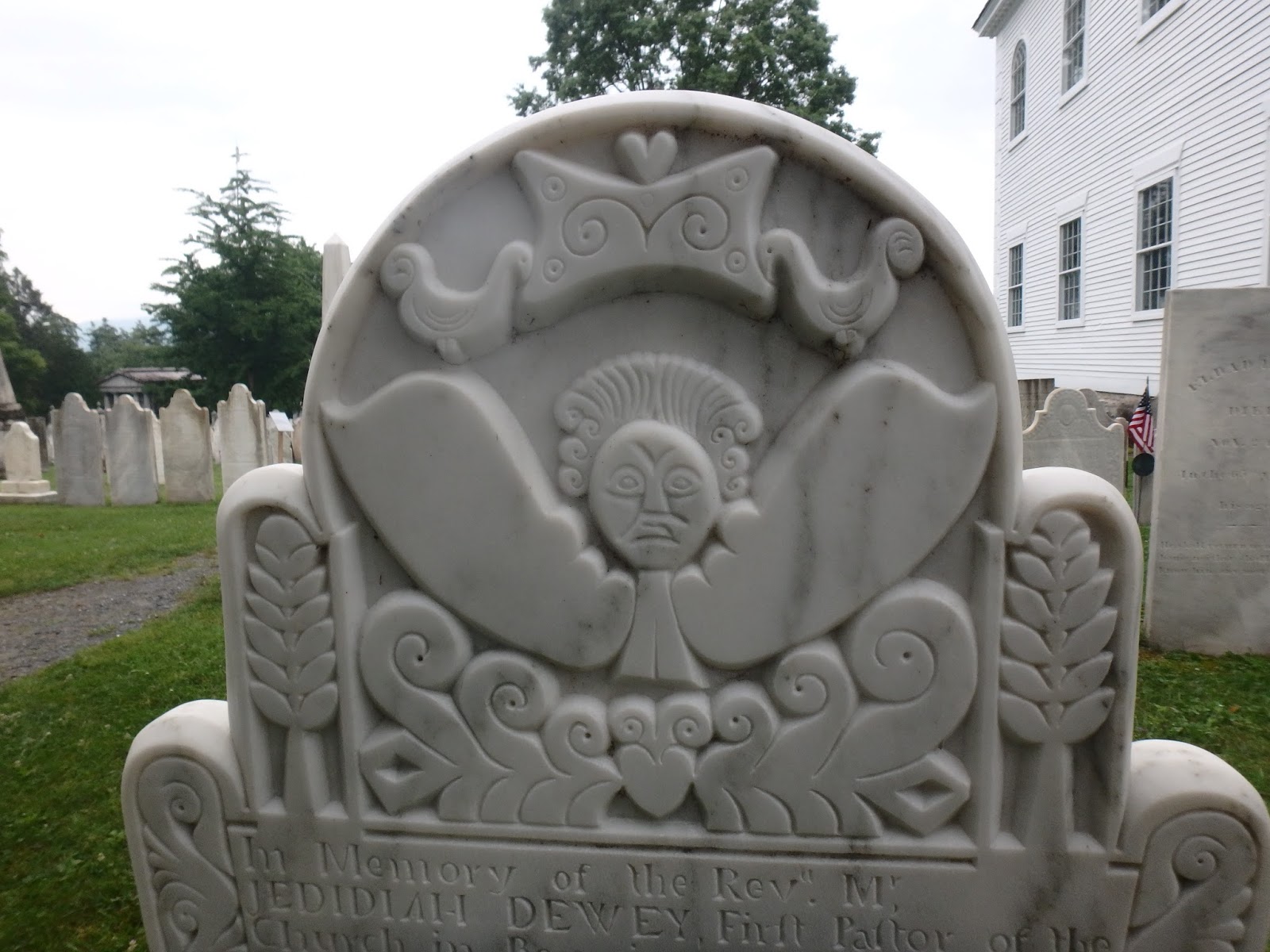
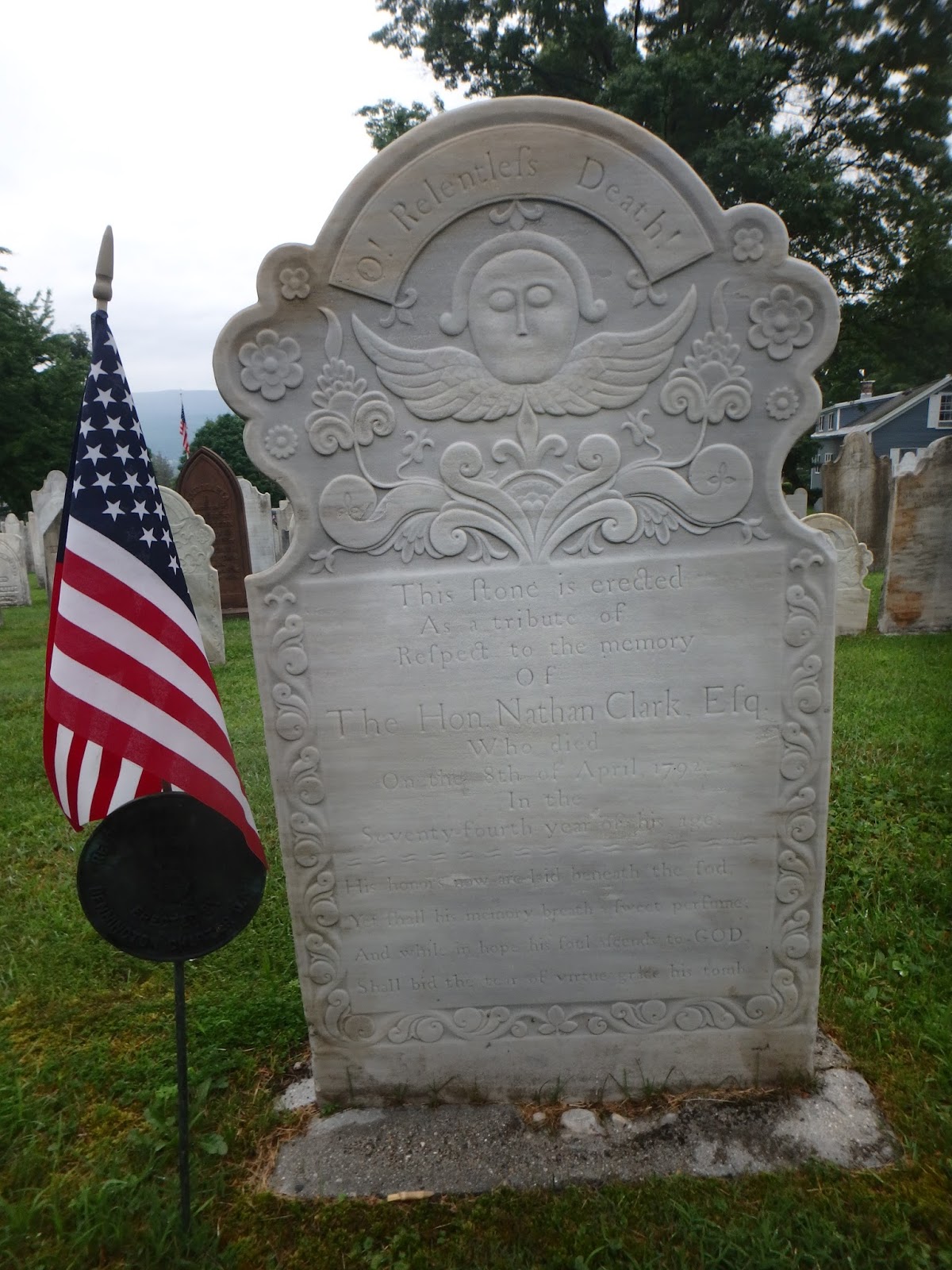
We spent 4 fabulous hours driving the backroads of Coshocton County. Farm stands, Amish Markets, cemeteries, libraries, and several of fabulous local businesses. We also detoured for a Carnegie Library and a local quilt shop. 


TaGeez and Scrapcat


Low-flying planes

And the final cache was impressive! CCR #01: The Cache to Rule All Caches included the final stamp we needed to complete our passports. Afterwards we visited the Coshocton Supply Company, where we met the indomitable Mindy! Lovely lady who enthusiastically awarded us our coins, sold us our t-shirts, and directed us to the local sites (including the horse-drawn canal boat). 


The Coshocton Supply Company is situated in historic Roscoe Village, a fabulous brick-lined downtown situated amongst other shops and down the road from the Warehouse Restaurant, "home of the legendary onion rings". And, MAN! They smelled and tasted delicious! More than enough for 3 hungry cachers!


Sadly, it's time to head home, but we had a little time to grab a few more counties and enjoy a little more sightseeing. My favorite stop of the trip was the Mount Vernon Dog Fountain! What a hoot! SJ, can we go back when we do Belmont? 

Must Love Dogs Virtual

TaGeez having too much fun!

Scrapcat and TaGeez in Mount Vernon

TaGeez is such a trooper! Another county down!

Swartz Creek Covered Bridge, Wyandot

In the end, we checked off 8 more Ohio counties and making plans for more on the way to the Belmont Geotrail this Fall!


Another fabulous adventure with the Super Sexy Trio (SST = Scrapcat, ShelleyJean, and TaGeez)! Coshocton is a friendly little town, nestled in small hills, and steeped in history.  We thoroughly enjoyed exploring the backroads but, more importantly, spending time together!

Coshocton Geocoin and Discover Tags

If you decide to visit, Mindy from the Coshocton Supply Company said they still have about 100 geocoins left. One Trail to Rule Them All!

Tuesday, August 8, 2017

NECT: Heading Home

Heading home doesn't mean the adventure ends for us. It took ShelleyJean and I 19 hours to complete an 8-hour drive! Cliche but true: geocaching takes you to some amazing places!

Bennington, Vermont

We awoke our final morning in one of two commercial hospitality establishments in Bennington, Vermont. 'Nuff said about that.

ShelleyJean was hoping the fog and dreary skies would burn off for a clear view from the Bennington Battle Monument. With several hours to kill before it opened, we decided to explore the nearby area of interest. First stop was this nifty travel bug hotel behind the local liquor store - so worth the favorite points!


Next stop was Vermont's Old First Church and the nearby "Vermont's Sacred Acre" (cool nickname for a cemetery, eh?).


Again, I found rows and rows of headstones with funny faces! These ones were as white as the Massachusetts slate ones were black - such a contrast! So hard to select just a few of my favorites to share!


Alas, it is this grave off the beaten path that seems to attract the most visitors. Do you know this chappy? A little poet called Robert Frost? Make sure you Say Hi To Robert Frost GCRYRC when you visit.


Of course, you can't visit Vermont without visiting a covered bridge. There are three within this immediate area, and we detoured to the Silk Road Bridge. 


Finally, it was time to return to the Bennington War Monument. "The Monument was built to commemorate the Battle of Bennington which occured on August 16, 1777, and is considered to be the turning point in the Revolutionary War."

Bennington Monument GC1RXF6

At 306 feet tall and set atop a hill (at the end of the avenue where the Old First Church is situated), you can see it for many miles. Unfortunately, today it was overcast and cloudy. Major thank you to the ranger that eased my fear of heights and talked to me as I calmed my racing heart and swaying equilibrium 


When I exited the elevator into the museum at the base, the ranger pointed out Burgoyne's Cooking Kettle hanging from the rafters and this visitor book. As geocachers, we are fascinated when we see a log from 15 years ago. How about one that is a 100 years ago? They flip pages each day to display the signatures from a 100 years earlier. 


It was a lovely trip to the top, and I felt very jovial as I waved to my new friend (below) on my way out. We saw several more just like him (plus painted catamounts, a giant kane chair and a disappointing quilt shop) in town.


Now Entering New York

Let's call this "Dead Man's Curve".  Seven miles or so from Bennington and just inside the New York border is a Virtual called A Murder Mystery GC3B72. I thought this would be a very fitting finish to our tour - I believe ShelleyJean disagrees. Something about a dangerous highway and my disappearance looking for a nameless, faceless marker....

NOTE: There are no spoilers in the pictures or the attached article.

A moment of peace on a raging, crazy, busy, dizzy highway road
Unlike other roadside finds, this one involves crossing a very dangerous highway and walking about 300 feet up a disintegrating shoulder between a guardrail and a creek. We agreed SJ would turn back and get the car for a quick escape once the marker was located.

Now you see me and now you don't!

In the interim, I had to hop the guardrail again as the embankment disappeared and walked the remaining hundred feet while sharing the road with 18 wheelers blowing by. Hopping back over, I looked for the missing historical marker I had expected to see. NOTHING! Did it go missing? Has anyone mentioned it in their logs? 

With a sinking heart, I saw the words "bushwhack" in the logs. Aligning myself parallel to the GZ, I looked down the steep embankment and could barely discern a wet trail cloaked in large green leaves. It had rained last night so the "trail" was actually a little stream, and I'm wearing flip flops (yes, very stupid). Legs bare, feet slipping, I blindly edged my way down the embankment, pushing large wet weeds aside and praying (oh, praying!) there were no snakes in the underbrush. 

Little did I know that SJ had made several passes topside and was in a mild panic over my missing self.

Down at the bottom of the ditch - a total bushwhack
It wasn't until I almost reached the bottom I realized there was a headstone waiting for me. I can't share the inscription, but it spurred me to look up this fascinating tale of a boastful cabby, a murder plot, a canary singing and a dame gone bad. Yes, perfect ending to a cemetery tour!

Albany, New York

I consider myself well-traveled for an American. Wherever I go, I do my due diligence by researching the history, geography and objects of local interest. I spend hours watching travel shows, PBS documentaries, and Smithsonian videos. TripAdvisor, AtlasObscura.com and Roadside America are worn bookmarks on my computer. So tell me... how did I ever miss The Egg?

The Egg

We decided as we had left Bennington relatively early that we would make some stops along the way. We saw on our PQ a cluster of Virtuals in this little town on the river called Albany. Oh! Laughing at ourselves as we pulled closer, it struck us that this was not any old hamlet. It was THAT Albany! And imagine our shock and awe when we crested the highway and saw this... thing... sitting on top of this big concrete... other thing! 

Pulling into the parking structure under the other thing, the attendant welcomed us to the Governor Nelson A. Rockefeller Empire State Plaza as well as the performing arts center, The Egg. We took the elevator and escalator topside to seek our Virtuals. (Again, no spoilers here).


Nelson A Rockefeller Empire Plaza - Albany, NY
Capital Building in the center - Egg on the right

Hi ShelleyJean!
Her awesome idea for a photo!

New York State Women Veterans Memorial

Fountain in Washington Park

Riverside Park - Hudson River

The cultural diversity between the fountain and the Hudson River was fascinating. Fancy and formerly-fabulous brownstone on sloping hills. Neighborhoods dotted with bodegas and ethnic restaurants and many interesting people sitting on stoops and curbs. We saw these neighborhoods several times as we got lost in Albany's confusing streets!

Niagara Falls, Canada

It's getting late and the skies have been threatening rain all day so we decided to really push the miles.  We didn't reach Niagara until almost 7pm. This time the tourists weren't as thick, the skies a little clearer, and, thanks to our earlier recon, we located affordable parking! To my great happiness, even though it was getting late, we stopped for another adventure!

See the rainbow?
First, I'd like to thank ShelleyJean for not throttling me. With TaGeez at home, I was fixated on getting a scenic selfie to send back to him. 400 photos later - you can see how successful I was! 


With luck on our side, we were able to take some fabulous shots before the sun set. I particularly loved the panoramics taken with my new camera, but they don't show well on this blog.


Stunning shot by ShelleyJean
With time limited (and the desire to truly enjoy our time at the Falls), we grabbed the highest Favorited Virtual, Traditional and Earth Cache as our souvenir.  The traditional, Foundations: Ghost of the Cliftons, was tucked in this little park oasis between the raging, natural Falls and the Vegas-like hotels! Cool!

Looks like Vegas!
It really was quiet and quite beautiful.

SJ for the find!


Needless to say, we had a lot to talk about and re-live on the ride home!


It was an amazing adventure with ShelleyJean! Thank you so much!

Five New Souvenirs!